
No Notable Nearby Wildfires
What Do I Need to Know About Wildfire Generally?
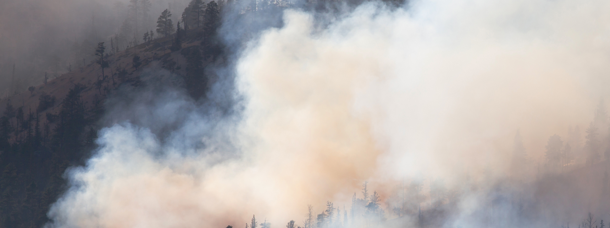
Wildfires are common in the BC Interior. Most wildfires are started by lightning; however, human activity also regularly causes wildfires. Wildfires can start at any time of year; however, wildfire behaviour in BC typically peaks in July and August.
Most wildfires are suppressed with little fanfare or else are allowed to burn in remote areas where they are of little concern; however, some wildfires avoid or resist suppression efforts, spread, and threaten human values. Embers, direct flame, and radiant heat can all contribute to the spread of wildfire. Embers thrown up by wildfires are particularly dangerous as they can travel up to two kilometres through the air and ignite fuels on the ground where they land.
I Think I Have Seen a Wildfire. How Do I Report It?
You can call 1-800-663-5555 (*5555 from a cell phone) to report a wildfire. You can also use the BC Wildfire Service (BCWS) mobile app to report a wildfire.
How Can I Learn More Information About a Specific Wildfire?
The BC Wildfire Service (BCWS) dashboard and map are the best sources of wildfire information in BC. The dashboard provides information about the overall provincial wildfire situation and the map displays the locations of active wildfires.
Each fire featured on the BCWS map has its own specific webpage that lists details like the size and location of the fire, the suspected cause of the fire, and what resources have been deployed to respond. You can access this information by clicking on the fire on the map and selecting “Full Details”.
If you are still looking for more information about a fire in the Merritt area, you can contact a Kamloops Fire Centre information officer by calling 250-554-5965 or emailing kfcinfo@gov.bc.ca.
Who Responds to Wildfire?
Local fire departments like the Merritt Fire Rescue Department as well as BC Wildfire Service (BCWS) may be involved in wildfire response.
In general, local fire departments are responsible for responding to fires located within their fire protection districts and BCWS is responsible for responding to wildfires that are located on Crown land or that are not located within a fire protection district. Local fire departments and BCWS generally have close working relationships and often respond jointly to wildfires.

Map of the City of Merritt’s Fire Protection District
Are There Any Fire Bans Currently in Effect?
BCWS may issue prohibitions and restrictions on fires for all of BC or for specific BCWS fire centre regions. Merritt is located in the BCWS Kamloops Fire Centre region; prohibitions and restrictions for this region are are listed on this webpage.
Note that Category 2 and 3 open fires are always prohibited in Merritt. This prohibition is in effect irrespective of any prohibitions or restrictions issued by BCWS. Additionally, note that campfires and small confined fires may only be lit in Merritt when a permit has been issued by the Merritt Fire Rescue Department.
What Is FireSmart?
FireSmart is a wildfire mitigation program that works with property owners, kids, educators, and local governments to reduce wildfire risk. In general, FireSmart involves managing fire fuels and taking steps to make homes and other structures more resilient to wildfire. FireSmart activities might involve landscaping using fire-resistant plants, clearing combustible debris from house gutters, or replacing cedar shake roofing with asphalt roofing.
The FireSmart program in Merritt is managed by a Merritt Fire Rescue Department member who is qualified as a Local FireSmart Representative (LFR). You can find more information about the Merritt FireSmart program at merritt.ca/firesmart.
What Else Can I Do?
Personal preparedness activities like creating an Emergency Support Services (ESS) profile, preparing a grab-and-go bag, and subscribing to the Voyent Alert! notification program can help prepare you for a wildfire evacuation as well as other types of emergency events.
Fire Information for Resource Management System (FIRMS)
Fire Information for Resource Management System (FIRMS) is an online mapping program operated by the US National Aeronautics and Space Administration (NASA). FIRMS uses several satellites to detect and map thermal anomalies like wildfires. In the US and Canada, satellites used by FIRMS pass overhead several times daily and the FIRMS map is updated within minutes of new data being collected.
FIRMS is an excellent tool for monitoring wildfire activity. However, FIRMS data is not pinpoint accurate and satellites used by FIRMS cannot determine the exact size and location of a fire. Additionally, FIRMS satellites cannot always distinguish wildfires from things like hot smoke and certain types of industrial activity.
Where Is Wildfire Smoke Coming From?
During the summer wildfire season, air quality in Merritt is sometimes impacted by wildfire smoke. While smoke may originate from a nearby wildfire, it can also travel to Merritt from fires located hundreds or even thousands of kilometers away. FireSmoke.ca is a Canadian project that displays where smoke originates from and where it is travelling to. FireSmoke.ca data is also accessible as a layer on the BCWS online map.
Where Can I Learn More?
We recommend visiting the following websites to learn more about wildfires:

